What Is a Flood Insurance Rate Map?
A Flood Insurance Rate Map (FIRM) is an official map of a U.S. community, prepared by FEMA, that outlines geographic features such as floodplains, special hazard areas and risk premium zones. Specifically, these maps show areas that have a one percent chance of flooding during a 12-month period (known as a “100-year flood boundary”). Details include:
-
roads and prominent landmarks
-
base flood elevations
-
flood zones
-
floodplain boundaries
FIRMs are used for town planning and by insurance companies in order to set premiums and determine which properties are insurable; potential home buyers may also refer to them in order to avoid moving into a flood-prone neighborhood or in determining how best to protect their property from a hurricane. Most municipal building codes do not allow construction in flood areas.
Are They Reliable?
A great deal of research and preparation goes into creating FIRMs; updating and digitizing these maps can take up to 18 months and cost $200 million a year. Nonetheless, state and municipal officials in North Carolina are warning residents that they should not rely on the new FIRMs too much when doing risk assessments.
Increasing Flood Risk
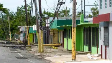
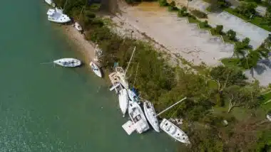
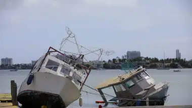
While these maps provide a good indication of hurricane impact, they do not factor in flooding from rainfall or the effects of climate change. It is apparent that flood elevations are rapidly increasing – and it has left some people confused as to why FEMA would reduce flood elevation requirements. Hyde Country Commissioner Tom Pahl is among them. Hurricane Alex in 2004, which caused the most serious flooding on Ocracoke Island in 60 years, was exceeded by Hurricane Matthew in 2016 and again last year with Hurricane Dorian. “We certainly can’t deny that flood elevations are increasing,” Pahl said. “It would be foolish at this point not to recognize it as a trend.”
“Get Flood Insurance”
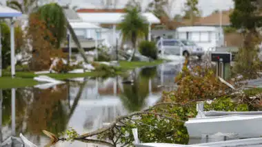
Angie Manning, a land-use administrator for Onlow County, acknowledges that the FIRMs have limitations. Primarily, they are for the purpose of providing statistics, so insurers, homeowners, and emergency managers can have some idea of the chances that an area will fall victim to flooding due to a hurricane, rain, swollen rivers or creeks. However, nature is unpredictable. “Floodwaters don’t know where lines on the map are, nor the base flood elevation,” she says. “Structures flooded that weren’t in the (flood) zone.” Manning’s advice: “Everyone should get flood insurance – it’s just a smart thing to do.”
ATTORNEY ADVERTISING
Top Class Actions is a Proud Member of the American Bar Association
LEGAL INFORMATION IS NOT LEGAL ADVICE
Top Class Actions Legal Statement
©2008 – 2026 Top Class Actions® LLC
Various Trademarks held by their respective owners
This website is not intended for viewing or usage by European Union citizens.
E-mail any problems with this form to:
[email protected].
Oops! We could not locate your form.